What happened
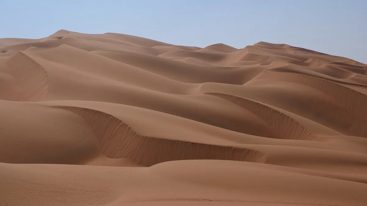
- A team from the University of Vienna, the University of the Algarve and Oman’s Ministry of Heritage and Tourism published in Nature on October 28, 2026 the results of a geoarchaeological survey of about 1,500 kilometers across the Rub’ al Khali, the great sand sea of the southern Arabian Peninsula.
- They recorded ancient lake deposits at 55 of the 125 localities studied, evidence of abundant fresh water during wet periods of the Pleistocene.
- Yet they found no stone artifacts and no raw materials suitable for knapping along the route, even though ground visibility exceeded 95%.
- At the desert’s edges there was human occupation contemporary with those lakes.
Why it matters
- Models of early human dispersal use climate to predict where people could settle, and assume fresh water set the timing and geography of those movements.
- The study shows water was not enough. The availability of stone for making tools worked as an independent factor: without suitable rock, a place with water remained hard to live in.
- That helps explain why human forays into so-called Green Arabia were brief and geographically limited, a pattern water availability alone did not explain.
- The authors point to similar patterns in Africa, North America and Asia, so the constraint would not be unique to Arabia.
The number
57%. That is the share of water-accessible land on the Arabian Peninsula that sits on geological formations with no stone suitable for knapping, according to the study’s model.
Context
The arid belt running from the Sahara to Arabia had wet windows that opened corridors into the desert interior. During those periods, lakes formed where dunes stand today. The question was why the humans of the time made so little use of those corridors.
The team built a spatial model of the peninsula and compared two versions. With water alone, the model told known archaeological sites apart with an area under the curve of 0.695. Adding raw material availability raised that measure to 0.768, which indicates settlement followed the overlap of water and stone.
For archaeology, the consequence is methodological: dispersal models that leave out raw materials may overestimate the areas early humans actually occupied.
What’s next
- The authors propose adding raw material geology to human dispersal models in other arid regions.
- Excavations at the desert’s edges could pin down where groups living near the lakes got their stone.
Bottom line
Ancient human history keeps being rewritten: a woman from Isturitz left a genome showing exchange between east and west and proteins placed two Xujiayao fossils as Denisovans. On climate, extreme rainfall in southern Africa would double in frequency and a Baffin ice cap was regrowing toward a new ice age.
Sources
- Nature — Stone and water governed early human settlement of the desert (Dellmour et al., October 28, 2026)
- Cover image: Nepenthes, CC BY-SA 3.0, via Wikimedia Commons
Edited by Rodrigo Cornejo. How we select and verify: who writes these notes.